Drone Services in Zambia
Drone services in Zambia for mining, agriculture, land survey, mapping, inspection and security operations.
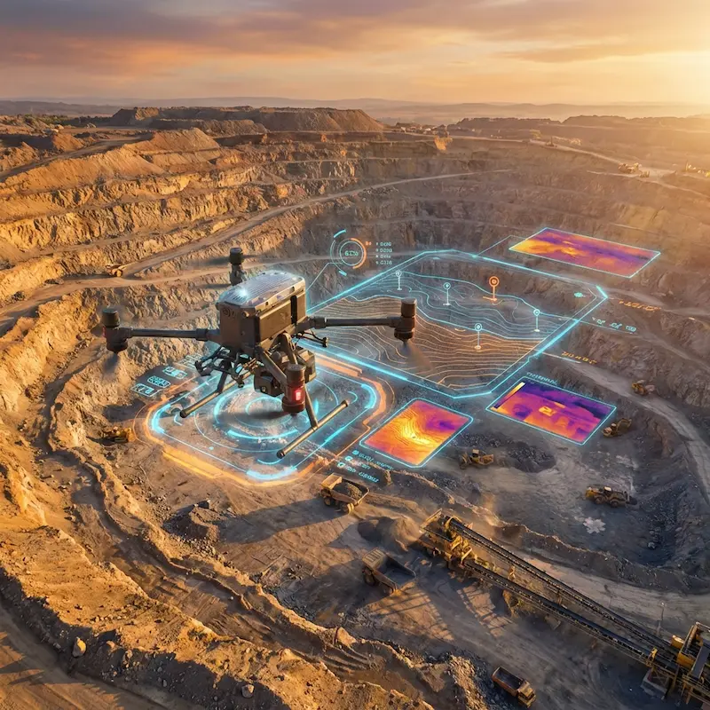
Overview
Built for practical aviation and field-operation outcomes.
Dragonfly Aviation provides UAV services for teams that need faster field visibility, safer inspections and clearer operational data. Drone work can support mining, agriculture, construction, security and utilities projects.
Service area
Dragonfly supports clients across Zambia, including Lusaka, Ndola, Chipata, Livingstone and remote operating sites where mission scope allows.
Discuss location requirementsOutcomes
What this service helps you achieve
Capture aerial data without slowing down ground operations
Improve site visibility for managers, engineers and field teams
Reduce manual inspection exposure in difficult or hazardous areas
Support decision-making with maps, imagery and project reporting
Deliverables
Clear outputs before, during and after deployment.
Process
How the engagement moves forward
Scope
Dragonfly keeps the next step visible so the mission does not disappear into a generic contact form.
Plan flight
Dragonfly keeps the next step visible so the mission does not disappear into a generic contact form.
Capture data
Dragonfly keeps the next step visible so the mission does not disappear into a generic contact form.
Deliver outputs
Dragonfly keeps the next step visible so the mission does not disappear into a generic contact form.
Specialized drone services
Choose the right UAV support for the work on the ground.
Mining Magnetic Surveying
Aeromagnetic surveys for mineral exploration and geological mapping.
Explore serviceAgricultural Spraying
Precision crop spraying to increase yields and reduce chemical usage.
Explore serviceLand Survey & Mapping
Accurate topographical maps and orthomosaics for construction and development.
Explore serviceSecurity Surveillance
Aerial surveillance for asset protection and perimeter security.
Explore serviceRelated industries
Where this capability is commonly used
Mining & Exploration
Geophysical surveys, stockpile volume estimation, and site monitoring.
Agriculture
Precision farming, crop health analysis, and automated spraying.
Construction
Site progression monitoring, topographical mapping, and 3D modeling.
Energy & Utilities
Powerline inspection, pipeline monitoring, and renewable energy site surveys.
Security
Rapid response surveillance, perimeter monitoring, and asset protection.
Action
Ready to scope this service?
Service Questions
Useful details before requesting drone services support.
Let's Elevate Your Operations
Experience the next generation of aviation solutions. From emergency charters to large-scale surveying, we're ready to deploy.